ADVERTISEMENT
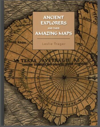
Ancient Explorers and Their Amazing Maps
Leslie Trager, author
Discover new history of ancient exploration. An analysis of European maps made between the 13th to 17th centuries shows that these were copies of maps surveyed as far as 5000 years ago. Accurate maps of the Mediterranean and North Africa are found, by examining geographical features reflected by these maps, to go back 5000 years. Maps of the Americas and Antarctica (without ice at its coast) are found to be copies of maps surveyed about 3700 years ago. The technological ability of the ancient civilization making these maps and the climate implications of this previously unknown melting of Antarctica's coastal ice are also discussed.
